Carte des Pays Voisins de la Mer Caspiene: De l'Isle 1740
- Title: Carte des Pays Voisins de la Mer Caspiene
- Author: Guillaume De l'Isle
- Date: 1740
- Medium: Hand-colored copperplate engraving
- Condition: Very Good
- Inches: 25.5 x 21 [Paper]
- Centimeters: 64.7 x 53.3 [Paper]
- Product ID: 233001
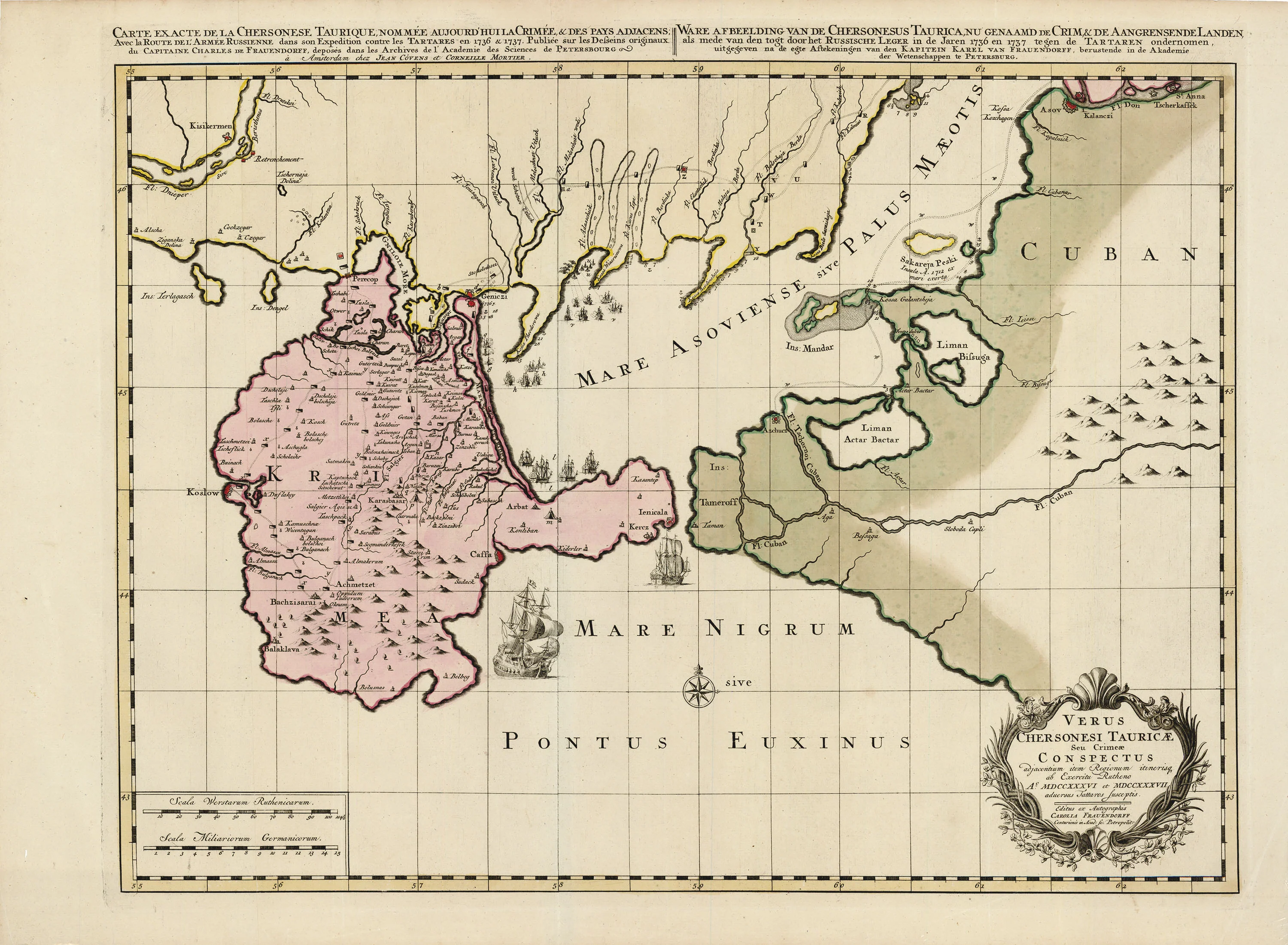
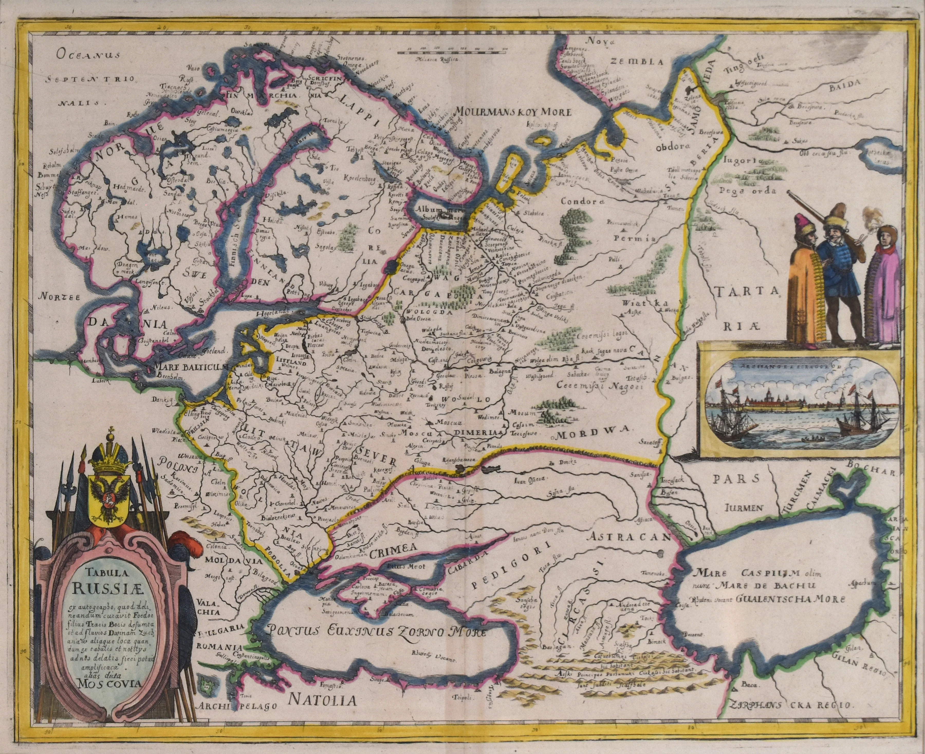
This hand-colored antique map published by Guillaume de l'Isle in 1740 depicts the Caspian Sea and its surrounding geography.
Guillaume de l'Isle (1675 - 1726) was the son of a French professor and tutor to the aristocracy. He followed in his father's footsteps, attending the French Academy of Sciences and becoming tutor to King Louis XIV's son. His connections to French Academic circles gave him access to the latest discoveries in French exploration. That unique access to data, combined with his own knowledge and skill, made his maps some of the most accurate of their time.
Original: $695.00
-65%$695.00
$243.25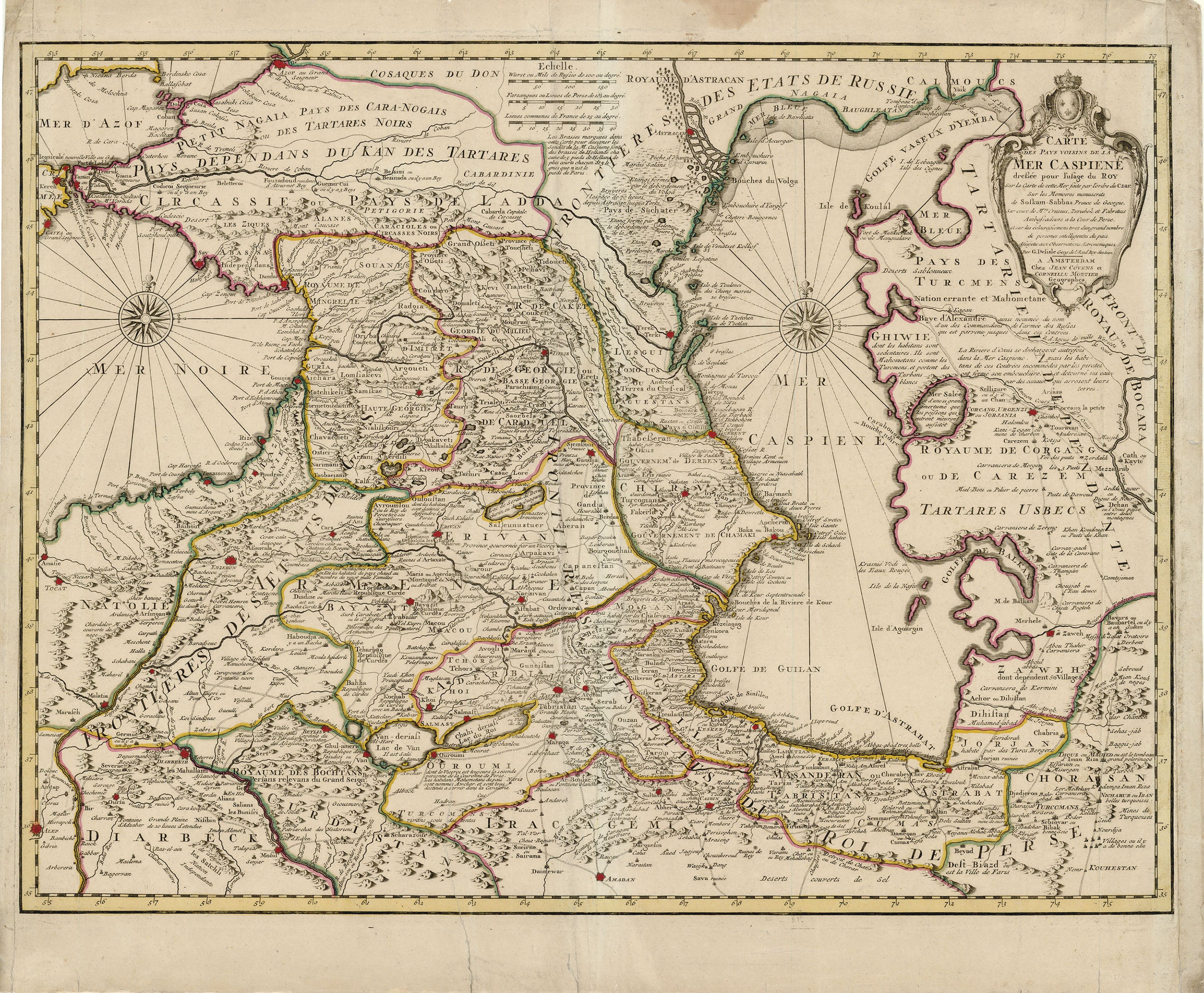
Description
- Title: Carte des Pays Voisins de la Mer Caspiene
- Author: Guillaume De l'Isle
- Date: 1740
- Medium: Hand-colored copperplate engraving
- Condition: Very Good
- Inches: 25.5 x 21 [Paper]
- Centimeters: 64.7 x 53.3 [Paper]
- Product ID: 233001
This hand-colored antique map published by Guillaume de l'Isle in 1740 depicts the Caspian Sea and its surrounding geography.
Guillaume de l'Isle (1675 - 1726) was the son of a French professor and tutor to the aristocracy. He followed in his father's footsteps, attending the French Academy of Sciences and becoming tutor to King Louis XIV's son. His connections to French Academic circles gave him access to the latest discoveries in French exploration. That unique access to data, combined with his own knowledge and skill, made his maps some of the most accurate of their time.