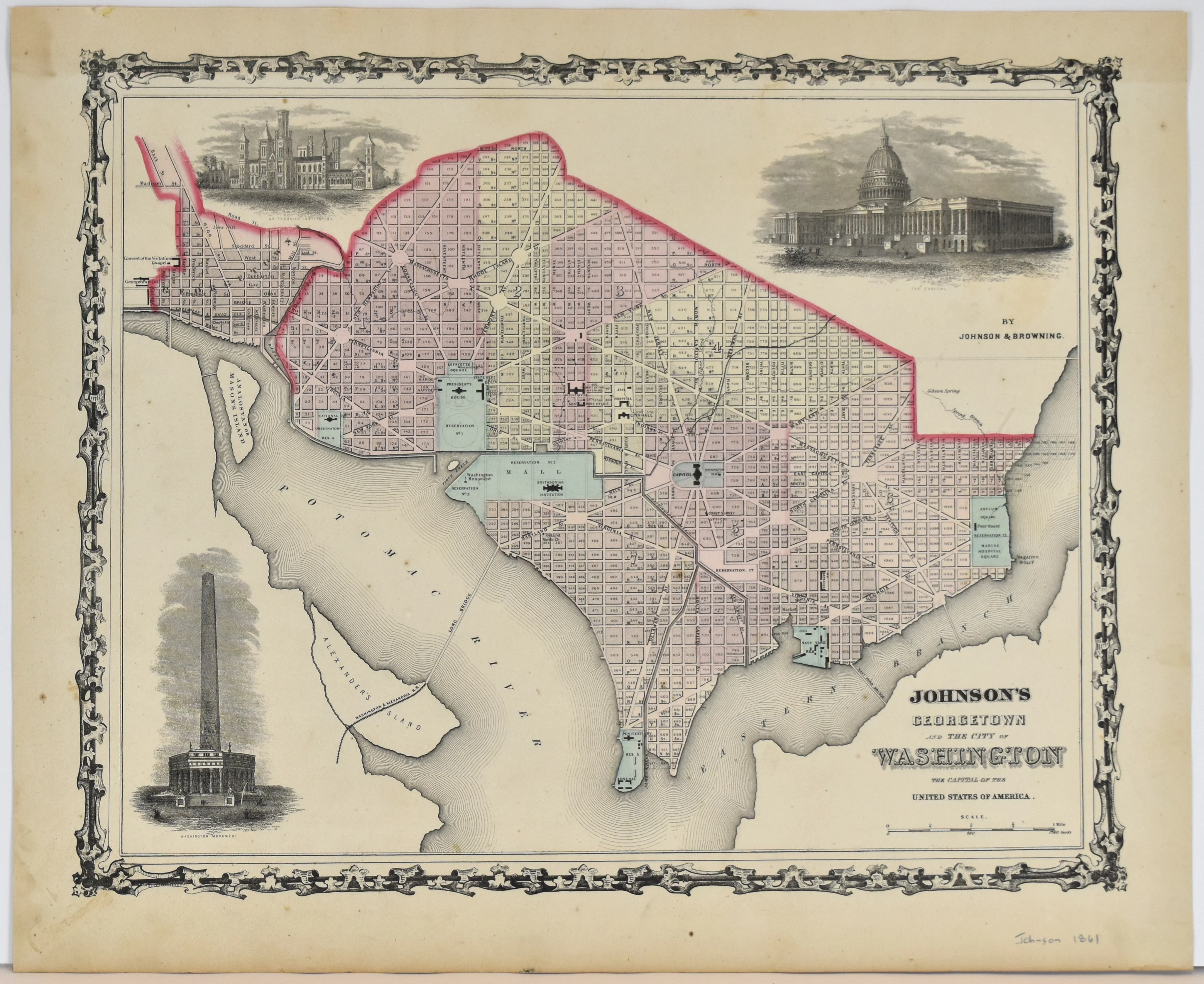
Map of Palestine Anderson County Texas: Gray 1884
- Title: Map of Palestine Anderson County Texas
- Author: O. W. Gray & Son
- Date: 1884
- Condition: Very Good - age toning, wear along issued center fold, light foxing, minor paper loss in left and right margins at fold
- Inches: 24 1/4 x 15 3/4 [Paper]
- Centimeters: 61.6 x 40.1 [Paper]
- Product ID: 313016
Map of Palestine, Texas from O.W. Gray's scarce National Atlas. In the 1880's, O.W. Gray & Son regularly published atlases of the world with a focus on the United States. Representatives of the firm traveled across the country to sell atlas subscriptions with an interesting pitch: subscribers who paid in advance would have their property or business labelled on the map of their city. Gray made sure to include in these maps the prominent families and citizens of note belonging to each city. The local editions of Gray’s atlas maps rarely come to market.
From O.W. Grays’s THE NATIONAL ATLAS : CONTAINING ELABORATE TOPOGRAPHICAL MAPS OF THE UNITED STATES AND THE DOMINION OF CANADA, WITH PLANS OF CITIES AND GENERAL MAPS OF THE WORLD; ALSO, DESCRIPTIONS AND TABLES, HISTORICAL AND STATISTICAL, WITH A REFERENCE LIST CONTAINING THE NAMES OF THE CITIES, TOWN, VILLAGES, AND POST-OFFICES IN THE UNITED STATES, WITH THEIR LOCATION, ACCOMPANIED BY SPECIAL RAILWAY, AND SCIENTIFIC MAPS AND ARTICLES.
Original: $995.00
-65%$995.00
$348.25
Description
- Title: Map of Palestine Anderson County Texas
- Author: O. W. Gray & Son
- Date: 1884
- Condition: Very Good - age toning, wear along issued center fold, light foxing, minor paper loss in left and right margins at fold
- Inches: 24 1/4 x 15 3/4 [Paper]
- Centimeters: 61.6 x 40.1 [Paper]
- Product ID: 313016
Map of Palestine, Texas from O.W. Gray's scarce National Atlas. In the 1880's, O.W. Gray & Son regularly published atlases of the world with a focus on the United States. Representatives of the firm traveled across the country to sell atlas subscriptions with an interesting pitch: subscribers who paid in advance would have their property or business labelled on the map of their city. Gray made sure to include in these maps the prominent families and citizens of note belonging to each city. The local editions of Gray’s atlas maps rarely come to market.
From O.W. Grays’s THE NATIONAL ATLAS : CONTAINING ELABORATE TOPOGRAPHICAL MAPS OF THE UNITED STATES AND THE DOMINION OF CANADA, WITH PLANS OF CITIES AND GENERAL MAPS OF THE WORLD; ALSO, DESCRIPTIONS AND TABLES, HISTORICAL AND STATISTICAL, WITH A REFERENCE LIST CONTAINING THE NAMES OF THE CITIES, TOWN, VILLAGES, AND POST-OFFICES IN THE UNITED STATES, WITH THEIR LOCATION, ACCOMPANIED BY SPECIAL RAILWAY, AND SCIENTIFIC MAPS AND ARTICLES.