Carte Générale de l'Amérique Septentrionale: Brué, Picquet 1838
- Title: Carte Générale de l'Amérique Septentrionale
- Author: Adrien Brué, Charles Picquet
- Date: 1838
- Medium: Hand-colored engraving
- Condition: Good - toning, line of discoloration from old matting, light foxing, faded original color
- Inches: 26 3/8 x 21 [Paper]
- Centimeters: 66.99 x 53.34 [Paper]
- Product ID: 317013
and
Islands that Belong to it.
by A. Brué Geographer to the King.
Revised and augmented by Charles Picquet, Geographer of the King
and the Duke of Orleans.
House of Charles Picquet, Quai Conti No. 17, near the Pont des Arts.
In Paris, 1838.
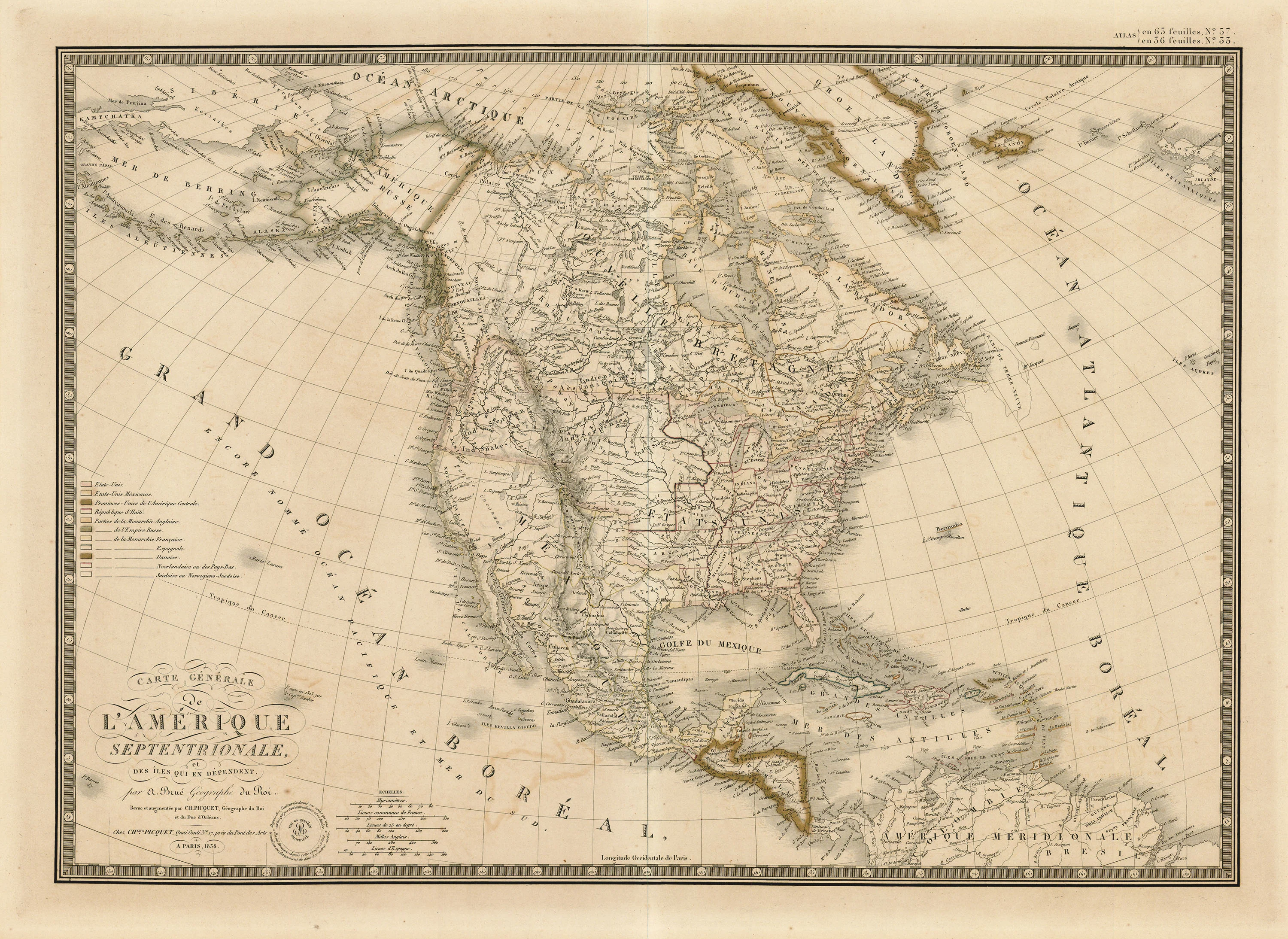
Map of North America by Adrien Brué. Legend to the left indicates the distribution of territory on the continent. Labeled territories and nations include the United States, the United States of Mexico, the Republic of Texas, the United Provinces of Central America, the Republic of Haiti, the Russian Empire, and territories controlled by the French, Spanish, Dutch, Swedish, and Norwegians. Includes proprietary blind stamp next to title. Longitude from Paris.
Description
- Title: Carte Générale de l'Amérique Septentrionale
- Author: Adrien Brué, Charles Picquet
- Date: 1838
- Medium: Hand-colored engraving
- Condition: Good - toning, line of discoloration from old matting, light foxing, faded original color
- Inches: 26 3/8 x 21 [Paper]
- Centimeters: 66.99 x 53.34 [Paper]
- Product ID: 317013
and
Islands that Belong to it.
by A. Brué Geographer to the King.
Revised and augmented by Charles Picquet, Geographer of the King
and the Duke of Orleans.
House of Charles Picquet, Quai Conti No. 17, near the Pont des Arts.
In Paris, 1838.
Map of North America by Adrien Brué. Legend to the left indicates the distribution of territory on the continent. Labeled territories and nations include the United States, the United States of Mexico, the Republic of Texas, the United Provinces of Central America, the Republic of Haiti, the Russian Empire, and territories controlled by the French, Spanish, Dutch, Swedish, and Norwegians. Includes proprietary blind stamp next to title. Longitude from Paris.